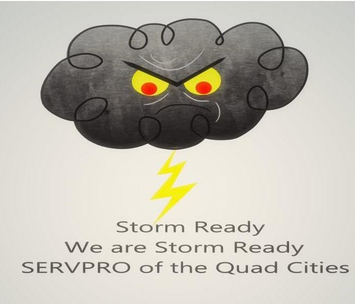
Second Peek of Severe Weather ahead
9/10/2020 (Permalink)
Autumn is around the corner and with the changing season, heightened risk of severe weather will begin. The second peak of severe weather happens in the Fall due to the shift of the jet stream. It starts to shift southward in response to the Northern Hemisphere cooling off. The thunderstorms that form can be just as severe as Spring thunderstorms. They can produce the threat of tornadoes, damaging winds, and flooding.
The Southern United States is the area of greatest concern for severe weather in the fall. Cold fronts driving from the north collide with warm, humid air originating in the Gulf of Mexico. Texas to Georgia are the most common areas for severe weather during the fall. Occasionally the central Plains and Mississippi Valley will have severe weather.
Tropical storms along the Gulf Coast also contribute to the secondary peek of severe weather. The threat diminishes as the hurricane season ends in November. On November 13, 2013, there were 73 tornadoes recorded from Tennessee to Michigan. This severe weather patten proved that any day of the year can be a severe weather threat.
Alabama fall severe weather starts at the beginning of November and ends in late December. Know your safety plan and be able to pinpoint your location on a map. Learning your surrounding counties and communities will allow you to be more prepared on direction of threat.
SERVPRO of the Quad Cities is ready to respond if you are dealing with storm, flood, or water damage from thunderstorms. Since we are locally owned and operated, we have prepared for expected damage from flooding and are able to respond quickly. When preparing an emergency contact list do not forget to add your Local SERVPRO phone number and contact!


 24/7 Emergency Service
